

Why Public Lands Matter: State of the Birds 2011
May 3, 2011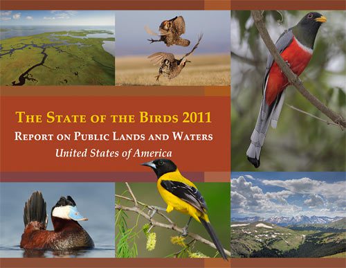
The 2011 State of the Birds report was released today by Secretary of the Interior Ken Salazar. This year’s report focused on putting some specifics to the idea of the value of public lands. The effort was coordinated by the U.S. Fish and Wildlife Service and involved scientists from the Cornell Lab, the U.S. Geological Survey’s GAP Analysis program, the Nature Conservancy, Audubon, American Bird Conservancy, and Partners in Flight, among other agencies and nonprofits—plus the combined observations of bird watchers across the country.

Related Stories
For most people who have ever visited a national park, it’s easy to come away impressed with the general idea of preserving great examples of nature. Just standing in a wild place like Yosemite, the Everglades, or Acadia can thrill us to our core. But it’s harder to put specifics to the value of the public owning chunks of land from every major biome. Is there a reason why the government should manage young pine forests in Michigan, or arid stretches of Colorado, or remote Pacific islands?
The authors of the State of the Birds report collected an exhaustive list of real, tangible answers to those questions. Answers like Kirtland’s Warbler (97 percent of its breeding distribution lies on public lands), Gunnison Sage-Grouse (79 percent), and Hawaiian Petrel (more than 90 percent). But their report goes beyond a few case studies—it’s a comprehensive assessment of the ranges of U.S. birds, the habitats they live in, and the ownership of that land. The report concludes that public lands harbor 50 percent of the breeding ranges of more than 300 of our nation’s most habitat-specific bird species.
At the State of the Birds website, you can download the full report, browse summaries by habitat type, or—perhaps most impressive—look at the species-by-species distribution maps that allowed these discoveries to be made. You’ll find maps for 207 species representing arctic/alpine lands, aridlands, boreal, eastern, western, pine-oak, and subtropical forests, and grasslands.
The maps represent a significant piece of data analysis made possible by the vast archives of eBird data that birders have contributed over the years. The report analyzed 622,000 checklists submitted from 107,000 unique locations in the lower 48 states from 2004 to 2009, using them as the starting point for supercomputer analyses that modeled species occurrence based on a slew of habitat variables. The analyses are similar to the ones that produced these animated maps of species occurrence—showing not just where a bird occurs but where they are most likely to be seen and at what time of year.
The next step was to compare the range maps with a comprehensive map of land ownership maintained by the U.S. Geological Survey’s GAP Analysis Program. By combining range maps, land cover maps, and land ownership maps in a Geographic Information System, the science team was able to measure the amount of public land in the range of each species. The team further classified each parcel of public land according to its conservation level: lands maintained for natural habitats; multiple-use lands; and lands with no permanent protection. For more on the scientific approach behind the work, see this page or download this science info sheet.
The breadth of this report’s coverage and the depth of its analysis combine to paint a vivid picture of the ways in which public lands serve as a safety net that stretches across our nation and helps to catch birds and other wildlife as they are pressured by the growth of our society. And it serves as a reference point from which to discuss how best to manage, restore, protect, and add to public lands as we move into the future.
For those of us living in our own corners of the country, it’s also a reminder to get outside, binoculars in hand, and take note of what we see each day. Everyone who ever reported a checklist to eBird in those six years had a hand in this report’s achievements, and eBird data will continue to be a valuable resource as long as people keep contributing. Get started here.
The 2011 State of the Birds effort was led by Mike Kreger and Paul Schmidt of the U.S. Fish and Wildlife Service. Full credits for the dozens of people involved are here.
All About Birds
is a free resource
Available for everyone,
funded by donors like you
American Kestrel by Blair Dudeck / Macaulay Library